
Kakiat County Park
 Get Directions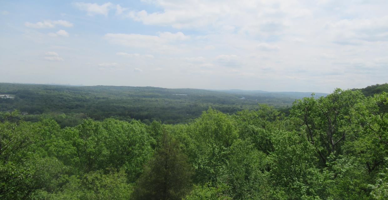
Park Overview:
Diverse topography, from flat wetlands to rolling hills, to steep mountainside. The Mahwah River flows southwesterly the length of the park for approximately 2500 feet. Heavy rains can flood areas along the stream.
Park Description:
Adjacent to the southeastern side of Harriman State Park, this remnant of a land patent from the King of England consists of diverse topography, ranging from flat wetlands to the steep mountainside of the Ramapo Escarpment. Wildlife here is also varied, with deer, fox, and other mammals, in addition to numerous birds and reptiles, including the timber rattlesnake.
Trails Overview:
The Kakiat Trail (white) begins just northwest of the parking area and climbs the escarpment, where it enters Harriman State Park, on its way to Dater Mountain Nature Park and Tuxedo. A short section of the Suffern-Bear Mountain Trail (yellow) crosses the western portion of Kakiat County Park. There are two other short trails in the park: the Old Mill Trail (blue), which runs along the Mahwah River to the ruins of an old electric-generating plant, and the Mountain Trail (orange), which ascends the escarpment to a panoramic viewpoint from where the Manhattan skyline is visible.
Use the Web Map link to view a trail map.
Park Acreage:
376.00 acresMunicipality:
MontebelloDiverse topography, from flat wetlands to rolling hills, to steep mountainside. The Mahwah River flows southwesterly the length of the park for approximately 2500 feet. Heavy rains can flood areas along the stream.
Adjacent to the southeastern side of Harriman State Park, this remnant of a land patent from the King of England consists of diverse topography, ranging from flat wetlands to the steep mountainside of the Ramapo Escarpment. Wildlife here is also varied, with deer, fox, and other mammals, in addition to numerous birds and reptiles, including the timber rattlesnake.
Park Acreage:
376.00 acresMunicipality:
MontebelloContact Information
Web Link:
County of RocklandPhone:
(845) 364-2670Fees:
NoneDogs in park:
Dogs on leash
 Directions to Trailhead
 Public Transportation
Directions to Trailhead :
From Suffern, NY, follow Route 202 east. Entrance on left side opposite Viola Elementary School. Parking is in lot near park entrance. GPS Coordinates: 41.14579, -74.112855
Public Transportation: Rockland Coaches.
Share Your Experience

 Support the trails with a donation!