Rockwood Hall is the site of the former summer home of William Rockefeller (1841-1922), brother of John D. Rockefeller. In 1886, he purchased Rockwood, a 200-acre estate, and built Rockwood Hall, a mansion with 204 rooms. Frederick Law Olmsted designed the landscape, which includes many ornamental trees. Following Rockefeller’s death in 1922, the estate was converted into a country club, which...
Hike Description:
Rockwood Hall is the site of the former summer home of William Rockefeller (1841-1922), brother of John D. Rockefeller. In 1886, he purchased Rockwood, a 200-acre estate, and built Rockwood Hall, a mansion with 204 rooms. Frederick Law Olmsted designed the landscape, which includes many ornamental trees. Following Rockefeller’s death in 1922, the estate was converted into a country club, which soon went bankrupt. In 1937, the property was acquired by John D. Rockefeller, Jr., William’s nephew, who arranged for the mansion to be razed in 1941-42.
The Rockefeller family donated Rockwood Hall to New York State in 1999, and it now forms a part of Rockefeller State Park Preserve. Although the buildings are gone, the foundations remain, and the carriage roads that were constructed by the Rockefeller family offer an opportunity for a delightful stroll through the property, with panoramic views over the Hudson River. Bicycles are not allowed, although equestrians are permitted (with a permit). Although not blazed, the roads followed by this hike are easily followed.
From the western end of the parking area, follow the crosswalk across the paved entrance road, bear right onto a wide paved road (closed to traffic) and continue uphill on a narrower road. At a kiosk at the top of the climb, bear right onto another road, surfaced with paving stones, soon reaching a spectacular viewpoint over the Hudson River.
After passing a huge weeping beech tree, a path diverges to the right, but continue ahead, passing stone foundation walls to the right. These walls are all that remains of William Rockefeller’s huge mansion. As you approach the highest point along the road, the views of the Hudson River broaden, and you can see the Tappan Zee Bridge to the left, beyond the Kendal on Hudson retirement community.
You may hear the sound of trains directly below you. Metro-North’s Hudson Line runs along the east shore of the river, and you can clearly hear (but not see) the passing trains (you’ll be able to see them later on in the hike).
After taking in the view, continue ahead along the road, which descends in a sweeping curve, bordered by stone walls. At the next intersection, turn left. Almost immediately, you’ll reach a Y-intersection. Here, you should take the right fork, following the sign for the “Upper Trail.” You’re now proceeding along a paving-stone road that climbs very gently, soon passing a grassy field on the right.
The road crosses another wooded area and descends to an open expanse, with grassy areas on both sides. Continue along the road, which passes a viewpoint over the Hudson River at the end of the grassy area, curves sharply to the right and reenters the woods.
Before reaching the end of the gravel road at a locked gate, turn left at a blue signpost for the Brook Trail and follow this trail downhill, bearing left at the fork. At the base of the descent, turn left onto a gravel road which proceeds through a ravine studded with rhododendron, crossing four bridges over the brook in close succession. Continue to follow the road, which parallels the brook, until you approach the shore of the Hudson River (at a sign for the “Lower Trail”).
Just ahead, you’ll come to a viewpoint over the river. To the right (north), you can see Croton Point jutting out into the river in the distance. The railroad tracks are visible below, and you may see a Metro-North or Amtrak train zoom by. Continue along the gravel road, which now heads south, with a grassy slope on the left and the river on the right. Breaks in the dense vegetation afford views over the river, and benches have been placed along the trail, inviting you to pause and take in the views.
After passing a huge oak tree on the left, you’ll come to a fork. Here, you should bear right (following the sign for the “Lower Trail”) and continue heading south along the river. Soon, you’ll see stone walls above a grassy slope on the left. These walls mark the site of the Rockefeller mansion that you passed by earlier on the hike.
At the southern end of the Rockwood Hall property (marked by a number of evergreen trees), there are panoramic views up and down the Hudson River. A bench has been placed here, and you may wish to pause once more to enjoy the views.
Continue along the gravel road, which bears left and begins to head east. At the next intersection, a path to the right leads into the Kendal on Hudson property, but you should continue ahead on the gravel road, which winds uphill. Upon reaching another path which heads into Kendal on Hudson, bear left and continue uphill on the gravel road, now bordered on the right by boulders and a stone wall. When you reach the kiosk, bear right and head down to the parking area where the hike began.
To view a photo collection for this hike, click here.
Publication: Submitted by Daniel Chazin on 03/14/2008 updated/verified on 07/29/2018


This loop hike follows carriage roads around this park, formerly the home of William Rockefeller, with gentle grades and panoramic views over the Hudson River.
41.111248, -73.861897
Westchester Co., NY
2 mi
1.5 hrs

Hike Checklist:
Whether you are going for a day hike or backpacking overnight, it is good practice to carry what we call The Hiking Essentials. These essentials will help you enjoy your outing more and will provide basic safety gear if needed. There may also be more essentials, depending on the season and your needs.
The Essentials
Hiking Shoes or Boots
Water - Two quarts per person is recommended in every season. Keep in mind that fluid loss is heightened in winter as well as summer. Don't put yourself in the position of having to end your hike early because you have run out of water.
Map - Know where you are and where you are going. Many of our hiking areas feature interconnecting network of trails. Use a waterproof/tear-resistant Tyvek Trail Conference map if available or enclose your map in a Ziplock plastic bag. If you have a mobile device, download Avenza’s free PDF Maps app and grab some GPS-enhanced Trail Conference maps (a backup Tyvek or paper version of the map is good to have just in case your batteries die or you don't have service). Check out some map-reading basics here.
Food - Snacks/lunch will keep you going as you burn energy walking or climbing. Nuts, seeds, and chocolate are favorites on the trail.
Sunscreen and insect repellent
Rain Gear and Extra Clothing - Rain happens. So does cold. Be prepared for changing weather. Avoid cotton--it traps water against your skin and is slow to dry. If you are wearing wet cotton and must return to your starting point, you risk getting chills that may lead to a dangerous hypothermia. Choose synthetic shirts, sweaters and/or vests and dress in layers for easy on and off.
Compass - A simple compass is all you need to orient you and your map to magnetic north.
Light - A flashlight or small, lightweight headlamp will be welcome gear if you find yourself still on the trail when darkness falls. Check the batteries before you start out and have extras in your pack.
First Aid Kit - Keep it simple, compact, and weatherproof. Know how to use the basic components.
Firestarter and Matches - In an emergency, you may need to keep yourself or someone else warm until help arrives. A firestarter (this could be as simple as leftover birthday candles that are kept inside a waterproof container) and matches (again, make sure to keep them in a waterproof container) could save a life.
Knife or Multi-tool - You may need to cut a piece of moleskin to put over a blister, repair a piece of broken equipment, or solve some other unexpected problem.
Emergency Numbers - Know the emergency numbers for the area you're going to and realize that in many locations--especially mountainous ones, your phone will not get reception.
Common Sense - Pay attention to your environment, your energy, and the condition of your companions. Has the weather turned rainy? Is daylight fading? Did you drink all your water? Did your companion fail to bring rain gear? Are you getting tired? Keep in mind that until you turn around you are (typically) only half-way to completing your hike--you must still get back to where you started from! (Exceptions are loop hikes.)
Check the weather forecast before you head out. Know the rules and regulations of the area.
The Leave No Trace Seven Principles
Plan Ahead and Prepare
- Know the regulations and special concerns for the area you'll visit.
- Prepare for extreme weather, hazards, and emergencies.
- Schedule your trip to avoid times of high use.
- Visit in small groups when possible. Consider splitting larger groups into smaller groups.
- Repackage food to minimize waste.
- Use a map and compass to eliminate the use of marking paint, rock cairns or flagging.
Travel and Camp on Durable Surfaces
- Durable surfaces include established trails and campsites, rock, gravel, dry grasses or snow.
- Protect riparian areas by camping at least 200 feet from lakes and streams.
- Good campsites are found, not made. Altering a site is not necessary.
- In popular areas:
- Concentrate use on existing trails and campsites.
- Walk single file in the middle of the trail, even when wet or muddy.
- Keep campsites small. Focus activity in areas where vegetation is absent.
- In pristine areas:
- Disperse use to prevent the creation of campsites and trails.
- Avoid places where impacts are just beginning.
- Pack it in, pack it out. Inspect your campsite and rest areas for trash or spilled foods. Pack out all trash, leftover food and litter.
- Deposit solid human waste in catholes dug 6 to 8 inches deep, at least 200 feet from water, camp and trails. Cover and disguise the cathole when finished.
- Pack out toilet paper and hygiene products.
- To wash yourself or your dishes, carry water 200 feet away from streams or lakes and use small amounts of biodegradable soap. Scatter strained dishwater.
- Preserve the past: examine, but do not touch cultural or historic structures and artifacts.
- Leave rocks, plants and other natural objects as you find them.
- Avoid introducing or transporting non-native species.
- Do not build structures, furniture, or dig trenches.
- Campfires can cause lasting impacts to the backcountry. Use a lightweight stove for cooking and enjoy a candle lantern for light.
- Where fires are permitted, use established fire rings, fire pans, or mound fires.
- Keep fires small. Only use sticks from the ground that can be broken by hand.
- Burn all wood and coals to ash, put out campfires completely, then scatter cool ashes.
- Observe wildlife from a distance. Do not follow or approach them.
- Never feed animals. Feeding wildlife damages their health, alters natural behaviors, and exposes them to predators and other dangers.
- Protect wildlife and your food by storing rations and trash securely.
- Control pets at all times, or leave them at home.
- Avoid wildlife during sensitive times: mating, nesting, raising young, or winter.
Be Considerate of Other Visitors
- Respect other visitors and protect the quality of their experience.
- Be courteous. Yield to other users on the trail.
- Step to the downhill side of the trail when encountering pack stock.
- Take breaks and camp away from trails and other visitors.
- Let nature's sounds prevail. Avoid loud voices and noises.
The Trail Conference is a 2015 Leave No Trace partner.
(c) Leave No Trace Center for Outdoor Ethics: www.LNT.org.
Directions to Trailhead :
Take the New York State Thruway to Exit 9 (on the east side of the Tappan Zee Bridge). Turn right at the top of the ramp onto US 9 (South Broadway), and continue north on US 9 through the Village of Tarrytown. After 1.7 miles, you’ll come to a complex intersection where you should bear left to continue on US 9. In another 1.8 miles (3.5 miles from the Thruway exit), immediately after crossing under NY 117, turn right at a sign for “Rockwood Road,” and follow the ramp onto NY 117. After reaching a stop sign, continue ahead through an intersection, following the sign to “Kendal on Hudson,” pass an exit from a parking area on the left, then turn left at the entrance to the parking area.
TRAIN TRANSPORT :
Not availableBUS TRANSPORT :
Not available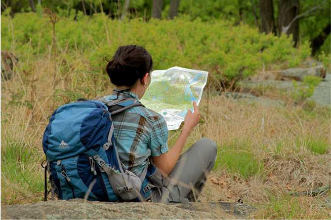
 Give $10 to support trails.
 December 31, 1969
 19:00 pm
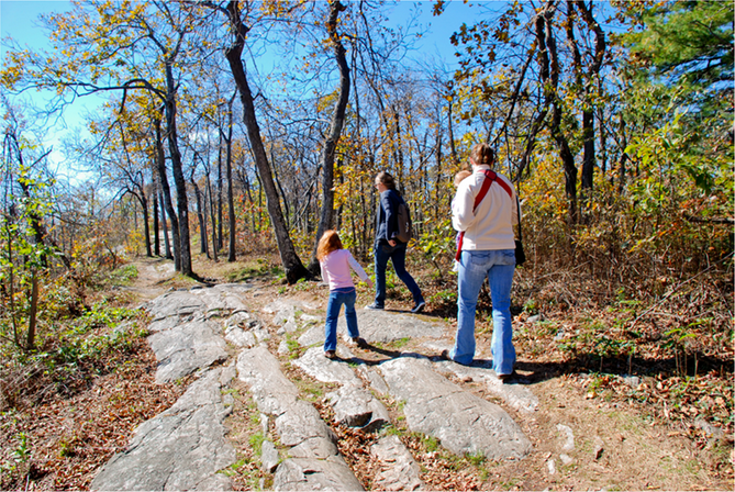
Trip Reports
rate experience
No reviews for this hike, click above rate experience link to review this hike